IGRSM 2020 - "Advancing Geospatial 4.0"


Proceedings of the 10th IGRSM International Conference and Exhibition on Geospatial & Remote Sensing (IGRSM 2020)


YBhg. Datuk / Prof. / Gs. / Ir. / Sr. / Dr. / Sir / Madam

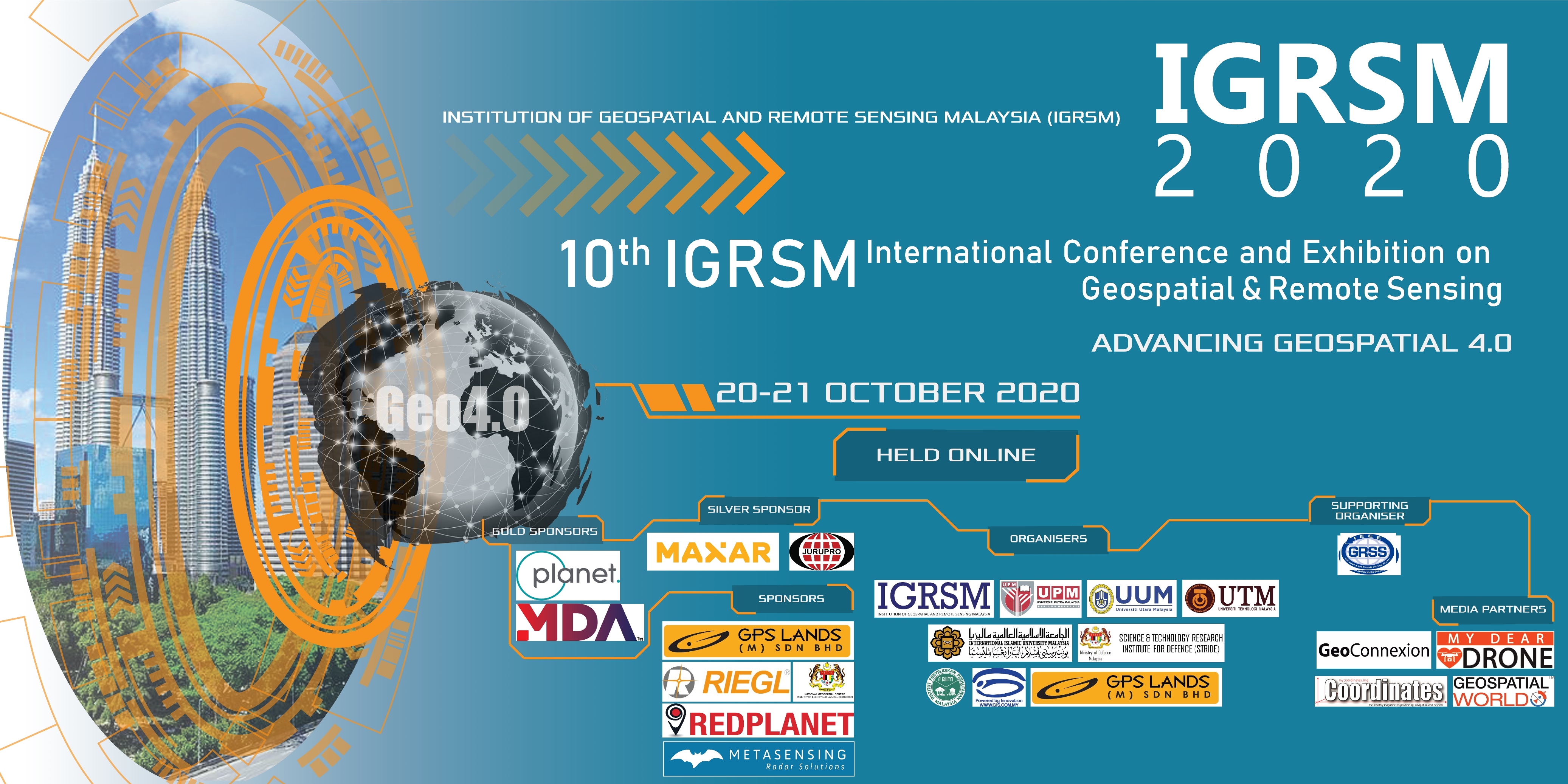
The 10th IGRSM International Conference and Exhibition on Geospatial & Remote Sensing (IGRSM 2020) was held online on 20-21 October 2020: http://www.igrsm.org/igrsm2020

We would like to thank all our Sponsors, Co-Organisers, Supporting Organisers, Media Partners, keynote speakers, presenters and participants for their invaluable and continuous support in organising the conference.

The proceedings of the conference has been published in IOP Conference Series: Earth and Environmental Science and is available at: https://iopscience.iop.org/issue/1755-1315/540/1

Thank you.

20 - 21 October 2020 KUALA LUMPUR, MALAYSIA

New: PDF Version of the Program is Available from Here
 
Officiation By
YB Khairy Jamaluddin bin Abu Bakar

Minister of Science, Technology & Innovation


Keynote Speakers
YBrs. Tn. Hj. Gs. Azlikamil bin Hj. Napiah

Director General
Malaysian Space Agency (MYSA)


Title

Remote Sensing’s Role in the New National Space Policy

Abstract


Space exploration has produced technologies and applications that cover various aspects of people’s lives, such as communications, broadcasting, internet networks, mapping, vehicle navigation systems, weather forecasting, as well as national security and sovereignty. It also contributes towards the economy through its data, technology and applications. Due to the importance and widespread use of space technologies, it has been regarded in many countries as a strategic asset. Therefore, for Malaysia to attain the status of developed nation and to be capable of going further in the future, mastery of the space sector should be reinforced. The National Space Policy aims to clearly state the country’s stand and objectives in the mastery of the space sector, and in preparing the country to face future challenges. In order to achieve these objectives, the National Space Policy outlines five main trusts, which are Trust 1: Reinforcing governance in optimising the country’s access to space capabilities; Trust 2: Focusing  on space technologies, infrastructure and applications that are significant to the country; Trust 3: Driving the development of space science and technology as well as building expertise; Trust 4: Contributing to the economy and wellbeing of the country; and Trust 5: Improving and strengthening international cooperation and networks.

In line with the aspiration for the country to become a scientific nation for socio-economic transformation and inclusive growth, activities in remote sensing especially in relation with research, development, commercialisation and innovation continues to be carried out as stated in Trust 3. Having this will enable space technologies to contribute to the economy and wellbeing of the country, as identified in Trust 4 of the National Space Policy.


Biography


YBrs. Tn. Hj. Gs. Azlikamil bin Hj. Napiah was born in Pasir Panjang, Sekinchan Selangor on 11 September 1969. He started his professional career in the private sector as a senior geologist in 1993. He joined the government sector as a research officer at the Malaysian Remote Sensing Agency (MRSA) (formerly known as the Malaysian Centre for Remote Sensing - MACRES) in August 1994. During his career as a Research Officer, he gained formal knowledge through certified training in remote sensing in Australia, United Kingdom and the Netherlands. He was also actively involved in the ASEAN Subcommittee on Space and Technology Application (SCOSA), and has been appointed as one of the Executive Committee members of the ASEAN Regional Training Centre for Space and Application (ARTSA), which is based in Thailand. He is also an active member in the Institution of Geospatial and Remote Sensing Malaysia (IGRSM). With his vast experience in R&D and technical management, he was appointed to lead the Corporate and Strategic Section in MRSA for four years, and then promoted as the Deputy Director General (Technical Services) in 2011. In May 2015, he was appointed as the Director General of MRSA with the task of spearheading the development and operationalisation of remote sensing and related technologies in Malaysia. With the merger of the Malaysian Remote Sensing Agency (MRSA) and National Space Agency (ANGKASA) in 2019, he was appointed as the Director General of the Malaysian Space Agency (MYSA).


YBhg. Dato’ Sr. Dr. Azhari bin Mohamed


Director General of Survey and Mapping Malaysia
Department of Survey and Mapping Malaysia (JUPEM)


Title

Geospatially Speaking, Just Where on Earth Are We Now?

Abstract


The process of knowing one’s position on the Earth has been around since the beginning of human existence. In ancient times, Man used stars as markers to help him know where he is and guide his travel. As journeys become more widespread, then far away from the Earth’s surface, the necessity for three-dimensional positioning was born. Little did ancient Man know then that their descendants would be doing just about similar things, but with something extra. These extras are markers in the form of artificial satellites orbiting around the Earth, which are capable of giving position, velocity and time to anyone, anywhere and anytime. Nowadays, space-based systems such as the Global Positioning System (GPS) have become the pre-eminent methods of navigation.

The Department of Survey and Mapping Malaysia (JUPEM) is the competent authority in establishing the geospatial reference system. This is carried out through the setting up of geodetic infrastructures that includes horizontal and vertical survey controls throughout the country for the eventual purpose of national development, security and defence. Since 1997, JUPEM has been developing the capability for real-time data streaming from a network of 18 to the current of nearly 100 continuously operating reference Global Navigation Satellite System (GNSS) stations known as MyRTKnet.
 
The coordinates of MyRTKnet stations are in the Geocentric Datum of Malaysia or GDM2000, defined by its relationship to the ITRF2000 reference frame at a specified epoch of 1 January 2000. The datum definition was fixed at this epoch and did not include time dependencies although time series were produced as a byproduct for other geodynamic applications. However, due to the 2004, 2005 and 2007 earthquakes in Sumatra, large coordinate jumps had occurred. The earthquakes generated motions and caused significant displacements to the geodetic infrastructures in Malaysia with magnitude of the displacements ranging from 1.0 to 25.8 cm. Modelling of more uniform time dependencies need to be applied in new computations in order to remove systematic errors due to earth deformation. This modelling is based on a velocity model and would effectively be a time-dependent transformation. All the results would be converted back to the reference epoch and expressed in terms of that epoch.
This presentation takes us on a journey that traces the brief history of positioning that has advanced so dramatically from the days when stars were used by Man to mark his way to an era of satellite positioning. It also seeks to address the review taken on GDM2000 by looking at the new GNSS data available after the incidents of earthquake in Sumatra and to produce a revised datum that is able to represent the present coordinate reference system for Malaysia.


Biography


YBhg. Dato’ Dr. Azhari bin Mohamed is currently the Director General of Survey and Mapping at the Department of Survey and Mapping Malaysia (JUPEM) in Kuala Lumpur. He had worked as a District Surveyor in Kelantan, Kedah and Perlis, as well as serving at the Geodetic Survey Division and Boundary Affairs Division.
He graduated with an Honours B.Sc. in Surveying and Mapping Sciences from the University of East London in 1984 and an M.Phil in GPS Geodesy from the University of Newcastle upon Tyne in 1995. In 2003, he obtained a PhD in Geomatic Engineering from the Universiti Teknologi Malaysia (UTM).

His current research interests include the study of the dynamics of the Earth as observed by space geodetic techniques, GPS time series for crustal deformation, sea level variation, Islamic astronomy and young moon observation. He is an author and co-author of over 50 technical papers and seven books on a variety of topics, notably in geodesy and Islamic astronomy. Currently he is the Vice President of the Royal Institution of Surveyors Malaysia (RISM), Chairman of the Geomatics and Land Surveying Division of RISM, Deputy President of the Malaysian Islamic Astronomical Society, and a committee member of the Falak Expert Panel of JAKIM. He has been chasing solar and lunar eclipses for more than 30 years and was a Secretary of the National Eclipse Trackers Team or ET. In 2017, he was elected as Vice-Chair of Working Group 1 of Geodetic Reference Framework for Sustainable Development, United Nations Global Geospatial Information Management Asia Pacific (UN-GGIM-AP).

He was an external examiner for two Master students and a co-supervisor of one successful PhD student. He is also a Fellow of RISM, an Honorary Fellow of the International Institute of Utility Specialists (IIUS) in Hong Kong, a registered land surveyor and an Adjunct Professor at UTM. He has appeared on several TV programmes, including RTM1 Inovasi, Buletin Utama TV3, RTM1 Panorama, Journal Islam and Forum Perdana Hal Ehwal Islam as well as TV3 Selamat Pagi Malaysia and TV9 Nasi Lemak Kopi ‘O’. In 2018, he was presented with the national Tokoh Maulidur Rasul Award by the Deputy Yang DiPertuan Agong, Sultan Nazrin Muizzuddin Shah. Dato’ Dr. Azhari is married to an English Language teacher and has four children.


Prof. Dr. Wataru Takeuchi


Remote Sensing of Environment and Disaster Laboratory (RSED), Institute of Industrial Science.
University of Tokyo, Japan


Title

Geospatial Technologies Towards One World, One Health and One Earth

Abstract

To be updated soon.

Biography


Prof. Dr. Wataru Takeuchi is currently a Professor at the Institute of Industrial Science (IIS), The University of Tokyo, Japan. He obtained the Bachelor degree in 1999, Master degree in 2001,  and Ph.D. degree in 2004 at the Department of Civil Engineering, The University of Tokyo. He was a Visiting Assistant Professor at the Asian Institute of Technology (AIT), Thailand from 2007 to 2009,
Director of the Japan Society for Promotion of Science (JSPS), Bangkok Office, Thailand from 2010 to 2012, and a Senior Policy Analyst, Council for Science, Technology and Innovation (CSTI), Cabinet Office (CAO), Government of Japan from 2017 to 2019. He has been a regular member of the Japan Society of Photogrammetry and Remote Sensing, Remote Sensing Society of Japan, and American Society of Photogrammetry. His current research interests covers remote sensing and GIS, global land cover and land use change, global carbon cycling, as well as management and policy for terrestrial ecosystems. He has around 100 peer-review journal papers and 520 conference papers.

Mdm. Siti Baizura Alidin
Sales Engineer, Planet
Mr. Jonathan Ong
Southeast Asia Regional Sales Manager, Planet

Title

How Planet's Agile Aerospace Approach Pushes The Boundaries Of Geospatial

Abstract

Planet pioneered an agile aerospace development approach that continually optimizes spacecraft architecture and software through an evolution of capabilities. We have completed 14 major iterations of the Dove spacecraft design with new generations being released at a steady rate.

Since 2019, Planet has launched our new generation of Dove, called SuperDoves, which not only upgraded the electronic components to increase the sensor’s lifespan but also made a breakthrough in the increase of the spectral bands to eight and also improved the image quality. We also recently launched three additional SkySat satellites, which will enable us to capture a single location multiple times per day and drive more situational awareness in key locales.

In this session, you will learn how these hardware improvements, in combination with investments in cloud infrastructure and advanced software processing techniques, are driving a new era in geospatial analysis with the availability of global, high-frequency data over the entire Earth's landmass.

Biography

Mr. Jonathan Ong is the Southeast Asia (SEA) Regional Sales Manager with Planet. After graduating with a materials engineering degree at Nanyang Technological University (NTU), Singapore, he started his career with Procter & Gamble learning about the business from the supply chain perspective, then moving to Navico as the sales manager for SEA. He is passionate about space and technology enablers, and has joined Planet to continue bringing forward Earth Observation solutions to the market.

Mdm. Siti Baizura Alidin is the Sales Engineer of Planet working closely with the sales team for the APAC region. With 10 years of geospatial experience, she supports customer needs by assessing their imagery requirements and providing the right solutions. Prior to Planet, she was working at Hydronav Services, a geospatial and marine survey company based in Jakarta as the Sales and Technical Engineer for mapping and geospatial products. She spent six years working in Indonesia before moving back to Malaysia. She graduated from Universiti Teknologi MARA (UiTM) with a bachelor degree in surveying science and geomatics.
Mr. Paul Kennedy


Vice President, Product Strategy, Geointelligence, MDA Geospatial Services Inc


Title

GROWING A SPACE ECONOMY WITH EARTH OBSERVATION

Abstract

Earth Observation (EO) supports economic and knowledge growth along with environmental sustainability. Malaysia has strong infrastructure for EO data reception and user applications, leveraging all-weather Synthetic Aperture Radar (SAR) imagery to provide reliable, rapid-response information for a number of critical monitoring activities. With a long history working in both Canada and Malaysia, MDA understands the importance of EO infrastructure and capabilities to a country with limited space budgets. Using examples from both countries, we will discuss approaches to best applying EO infrastructure and data to key economic and environmental challenges. We will discuss current successes and cutting-edge research and development into new applications for knowledge creation and end user support. EO offers Malaysia an opportunity to grow on existing successes to satisfy the goals of the National Space Policy and to develop a vibrant space community

Biography

Mr. Paul Kennedy has over 25 years of experience in earth observation, geographic information systems and marine science. Paul joined MDA in 1998. He is currently the Vice President of Product Strategy for the Geointelligence business within MDA. This group provides advanced Earth Observation and geospatial intelligence solutions, including near-real time maritime domain awareness systems, full SAR imaging missions, and a variety of decision-support systems to improve the operational performance of business, civil government, and defence organisations worldwide. The team provides industry-leading operational monitoring programmes with data from the RADARSAT-2 SAR satellite combined with additional data sources to meet customers’ mission requirements.
Prior to his current position, Paul was responsible for the overall business development and program delivery of MDA's Earth Observation systems offerings.  He has also held a number of engineering, business development and management roles at MDA related to satellite ground systems, as well as information products and services for the energy and mining industries.
Mr. Johnny Ngo


Head of Sales Engineering APAC, Maxar, US


Title

Maxar Legion Constellation: Empowering the New Era of Earth Imaging & Insights

Abstract

Maxar is a trusted partner and innovator in Earth Intelligence and Space Infrastructure. We enable commercial businesses and government organizations to understand our changing planet, deliver global broadband communications, and explore space. Our unique approach combines decades of deep mission understanding and a proven foundation of commercial technologies. Across a variety of markets and more than 50 governments, innovative customers choose Maxar solutions to inform critical decisions, evolve operations, and improve ROI.

Today, our ability to observe, analyze and monitor our planet is unprecedented. We are no longer in a data scarce situation and our computing power has increased heaps and bounds as compared to a decade ago. With all these technological advancements, tools and big data at our finger tips, I believe we are now in best possible era to garner the insights from Earth Intelligence to build our world a better place.

How will you leverage Maxar Earth Intelligence for a better world? Explore impactful solutions and outcomes at maxar.com

Biography


Mr. Johnny Ngo is the HEAD of Sales Engineering APAC working off Maxar’s APAC HQ in Singapore. His team primarily focuses on working alongside with the Sales & Support team tackling the different requirements from the customers in the region. Leading to his 11th years of service with Maxar this year, previously DigitalGlobe, he has an excellent track record in supporting key accounts within APAC and the creation of a team to support a regionalised structure that is in-tune with in-region expectations. He graduated from Mississippi State University, whereby he holds a Master of Science degree in Business Information Systems and Bachelor of Science degree in Chemical Engineering.


ABOUT IGRSM

IGRSM, formerly known as Malaysian Remote Sensing Society (MRSS), was formed in July, 1995. Its overall objective is to support and facilitate development of geospatial and remote sensing technologies in the country.


Since its formation, IGRSM has embarked in several activities aimed towards further promoting the use of the technology, strengthening government-private sector interaction, encouraging more publications of R&D results and keeping members duly informed of geospatial and remote sensing activities within and outside the country.


CONTACT

IGRSM
Geospatial Information Science Research Center

(GISRC),

Level 6, Tower Block, Faculty of Engineering,

Universiti Putra Malaysia, 43400

Serdang, Selangor, Malaysia


Tel: (+6) 010-439 8638

Email: igrsmalaysia@gmail.com

Copyright © 2020 IGRSM All Rights Reserved. V6.5